1904 - Massart: Antwerpen 37


22 JUNI 1904
51°18'22" NB 04°17'15" OL
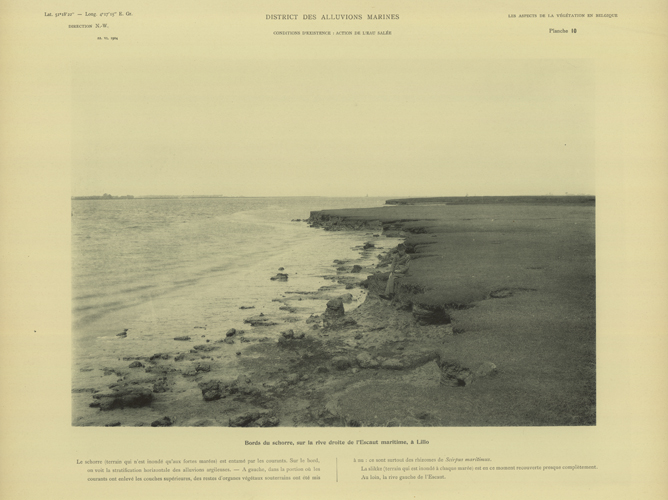
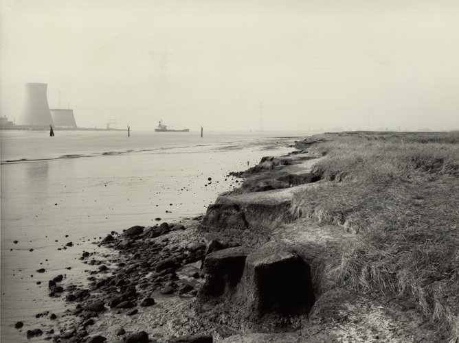
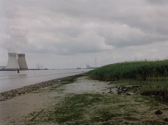
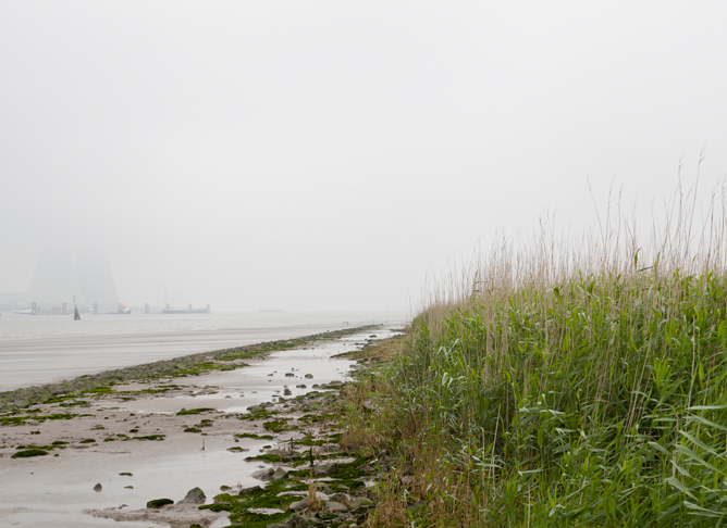
In addition to photograph 36, Massart took a second photo in the area, several dozen metres closer to the Scheldt in the heart of the Galgeschorre or Galgenschoor. This zone was only flooded in the event of heavy seas. Massart defined the vegetation in this natural area and pointed out the freshening of the Scheldt in the direction of Antwerp. Plant varieties such as Common Sea-Lavender (Limonium vulgare) and Sea Thrift (Armeria maritima) were rarer, while varieties such as Sea Aster (Aster tripolium), Sea Plantain (Plantago maritima) and Sea Club-Rush (Bolboschoenos maritimus) occurred in greater numbers upstream. This picture, taken at high tide, only shows a narrow section of the mud. The salt marshes and their border are higher than the mud. They also greatly resemble the salt-marsh areas in Nieuwpoort (photo set 14). The layer of grass consists mainly of Common Saltmarsh Grass (Puccinellia maritima) and the shorter grass growth points to intensive grazing (photo set 36).
The human influence in the Scheldt estuary continued to grow. Increasingly large ships made their way through the marshy waterway to Antwerp, which necessitated constant dredging activity. Over the previous years, the waterway had become narrower and deeper, the tidal currents quickened and the sediment in the water increased. As a result of this, erosion sites appeared along the outer edges of the salt marsh. This created a starker demarcation from the mud and the higher parts of the salt-marsh also underwent land accretion.